Participant Requirements
- Minimum Age: Participants must be at least 14 years old. if it is below that there must be another agreement
- Health: Participants must be in good physical health and free from serious medical conditions that may endanger themselves or others. A medical check-up before the trip is highly recommended.
- Climbing Experience: Prior experience in high-altitude or challenging terrain is required.
Registration and Payment
- Payment must include a down payment of 30% and be completed 6 days before arrival
- The climbing fee covers permits, guides, porters, equipment, and basic insurance. Additional costs for accommodation, transportation, and meals outside of the package may apply.
- Full payment must be made prior to departure.
Permits and Regulations
Climbing Carstensz Expedition requires official permits from Indonesian authorities. We will assist participants in obtaining the necessary permits; however, participants must provide the required documentation in a timely manner.
Insurance
All participants must have travel insurance that covers medical evacuation, injury, and loss of belongings during the climb.
Safety and Responsibility
- Participants must follow the instructions of the guides and adhere to all rules set by the climbing team.
- Guides have the authority to halt the climb if safety is compromised.
- Climbing is undertaken at the participant’s own risk. The organizer is not responsible for injuries, losses, or fatalities that may occur during the climb.
Equipment and Preparation
Participants are required to bring appropriate gear, including:
- Sturdy hiking boots
- Cold-weather clothing and protective gear
- Gloves and face protection
- Masks and technical climbing gear (ropes, carabiners, etc.)
A complete list of required gear will be provided upon registration.
Ethics and Environmental Responsibility
- Participants must maintain cleanliness and avoid leaving trash along the climbing route.
- Please respect the local culture and customs of surrounding communities.
- The use of drones or any activities that could disturb the environment or local people is prohibited.
Cancellation and Refund Policy
Cancellations before arrival and the agreed schedule will be considered used and if it has been paid in full, 50% will be returned or will be saved for the next climb according to the agreement.
Force Majeure
The organizer is not responsible for any delays or cancellations caused by extraordinary circumstances, such as natural disasters, severe weather, or government regulations.
Modification of Terms and Conditions
The organizer reserves the right to modify these terms and conditions at any time, and participants will be notified of any changes.
Acknowledgment
By registering for the climb, participants confirm that they have read, understood, and agree to all terms and conditions outlined herein.
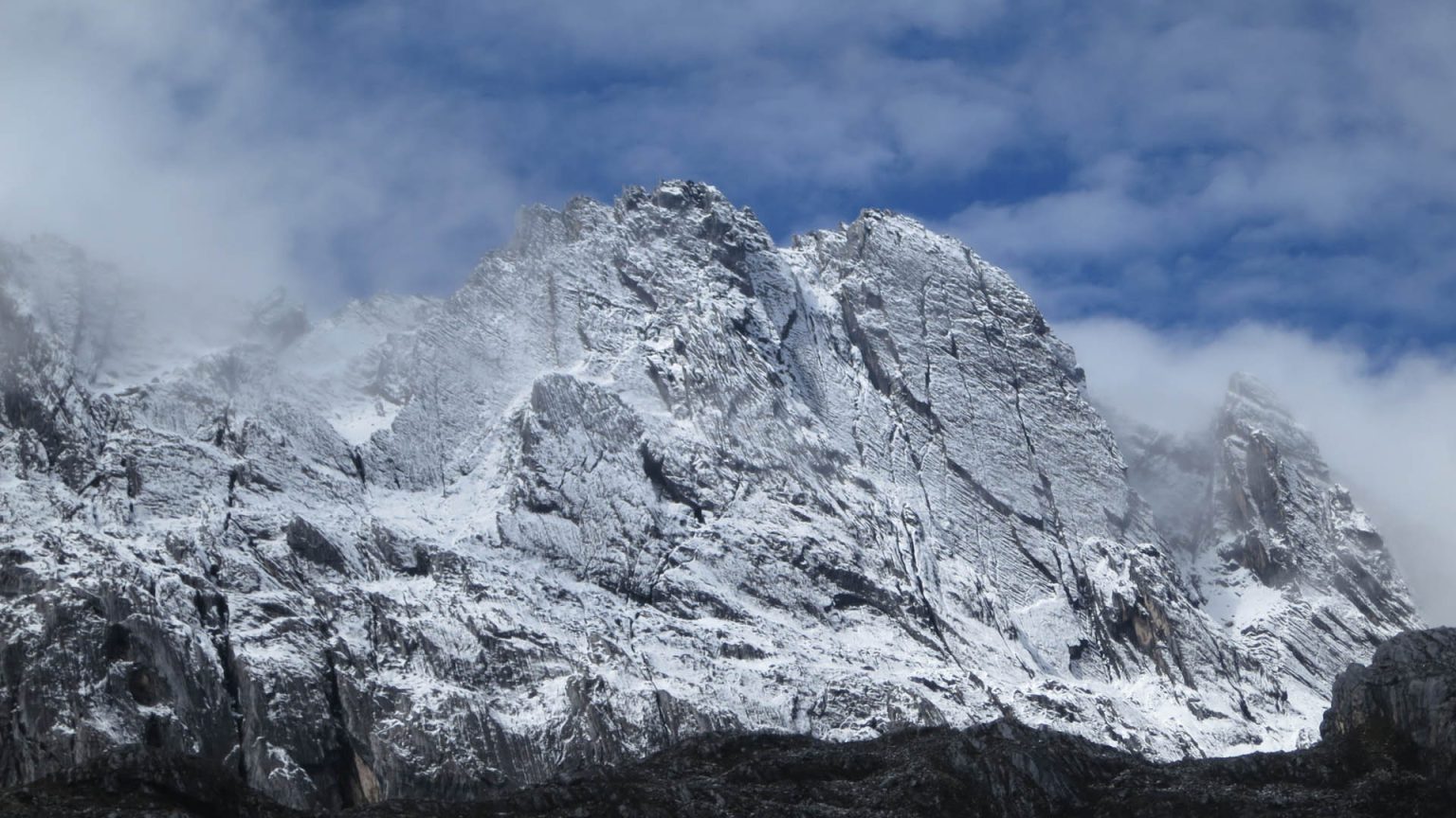
Weather Conditions and Environmental Factors
Climbing Carstensz Peak involves exposure to extreme weather conditions, including freezing temperatures and potential snowfall. Participants must adequately prepare for these conditions. Severe weather, snowstorms, or unexpected changes may cause delays or route alterations. Decisions regarding whether to continue or cancel the climb will be made by the guide or climbing team for safety reasons.
Mental Health Policy
Climbing Carstensz Pyramid is both physically and mentally demanding. If participants feel they are unable to continue due to health or mental well-being concerns, they must inform the guide. The decision to stop the climb for these reasons will be made in the interest of safety for all involved.
Emergency Situations and Evacuation
If an emergency arises or a participant needs to be evacuated due to illness or injury, the participant will be responsible for the cost of evacuation. Every effort will be made to assist, but participants should be aware that they are liable for any related costs.
Acceptance of Risk
Climbing inherently involves risks, including, but not limited to, injury, loss of personal belongings, or accidents. By registering, participants acknowledge and accept these risks and take full responsibility during the climb.
Responsibilities of Porters and Local Guides
The organizer will provide porters to carry gear and licensed local guides to lead the climb. Participants are expected to treat porters and guides with respect and are encouraged to provide tips at the end of the trip as a gesture of appreciation.
Personal Belongings and Security
Participants are responsible for their personal belongings. The organizer is not liable for the loss or damage of personal items during the climb. It is strongly recommended that participants keep valuables (passports, money, medications, etc.) in a small bag that they carry at all times.
Wildlife Notice
The Carstensz pyramid area is home to a variety of wildlife. Although encounters with animals are rare, participants must remain cautious and maintain a safe distance from wildlife encountered along the route.
Dispute Resolution
In the event of a dispute regarding the climb or these terms and conditions, the matter will be resolved through mediation or arbitration in accordance with Indonesian law. Participants agree to follow this procedure and not pursue the dispute in court.
Compliance with Government Regulations
Participants must comply with all regulations set by Indonesian authorities, particularly those related to climbing Carstensz pyramid, including conservation area rules, required permits, and safety guidelines.
Additional Terms
The organizer reserves the right to impose additional terms deemed necessary for the trip. These terms will be communicated to participants in advance and will be part of the agreement.
Climb Schedule Changes
The organizer reserves the right to change the climb schedule or route if extreme weather conditions or unforeseen circumstances affect participant safety. Participants will be notified promptly and given the option to reschedule or cancel with a refund according to the policy.
Health and Safety at High Altitudes
Carstensz pyramid high-altitude terrain may cause altitude sickness (AMS), with symptoms including headaches, nausea, or dizziness. Participants should regularly monitor their health and report AMS symptoms to the guide immediately. In severe cases, participants may be required to descend to lower altitudes for recovery.
Cultural Respect
Carstensz Pyramid is located in an area with rich cultural heritage. Participants must behave respectfully toward the local communities and their traditions. Any actions that harm or disrespect the local population may result in removal from the climb without a refund.
Access and Route Limitations
Some routes may be restricted due to authority regulations or other factors (such as weather conditions or natural disasters). The climbing team reserves the right to adjust the climbing plan according to current conditions, prioritizing safety.
Organizer’s Obligation to Provide Basic Facilities
The organizer will provide basic facilities such as tents, food, water, and emergency equipment. However, participants must bring their own personal gear and medications not supplied by the organizer.
Medications and Allergies
Participants must inform the organizer of any medical conditions, allergies, asthma, or special medications needed during the climb. Participants are responsible for bringing sufficient medication for the entire duration of the trip.
Limitation of Service
The organizer is not responsible for delays or disruptions caused by third-party services, such as airlines or local transport providers.